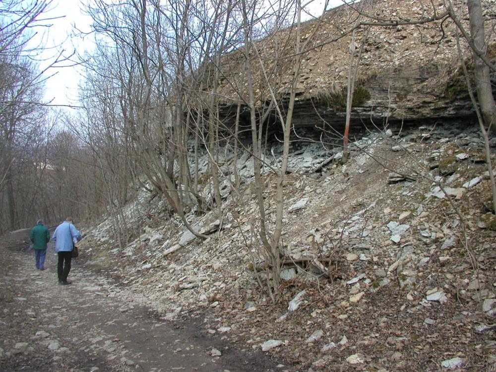
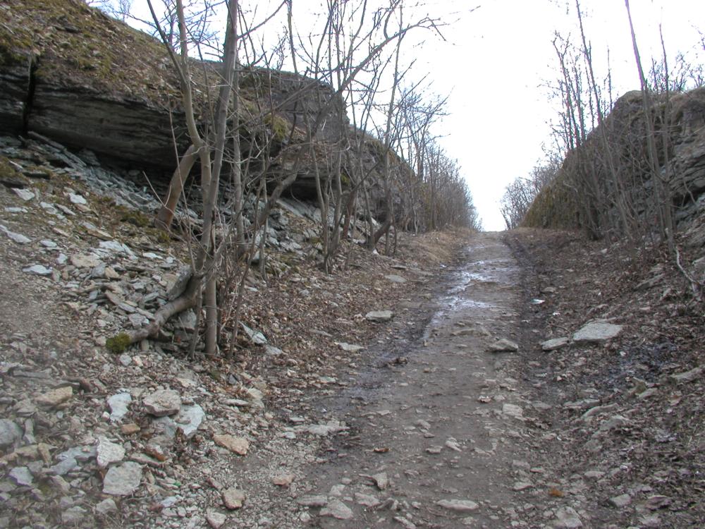

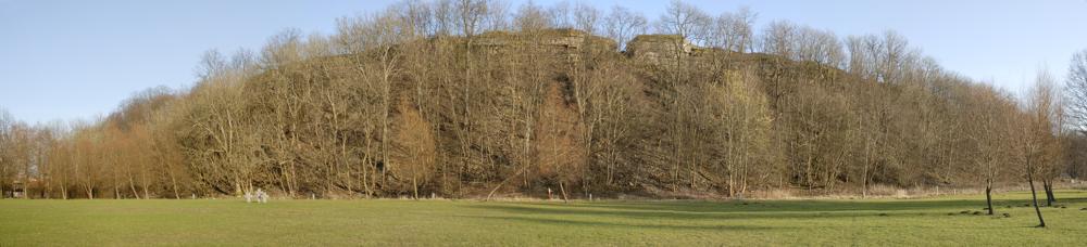


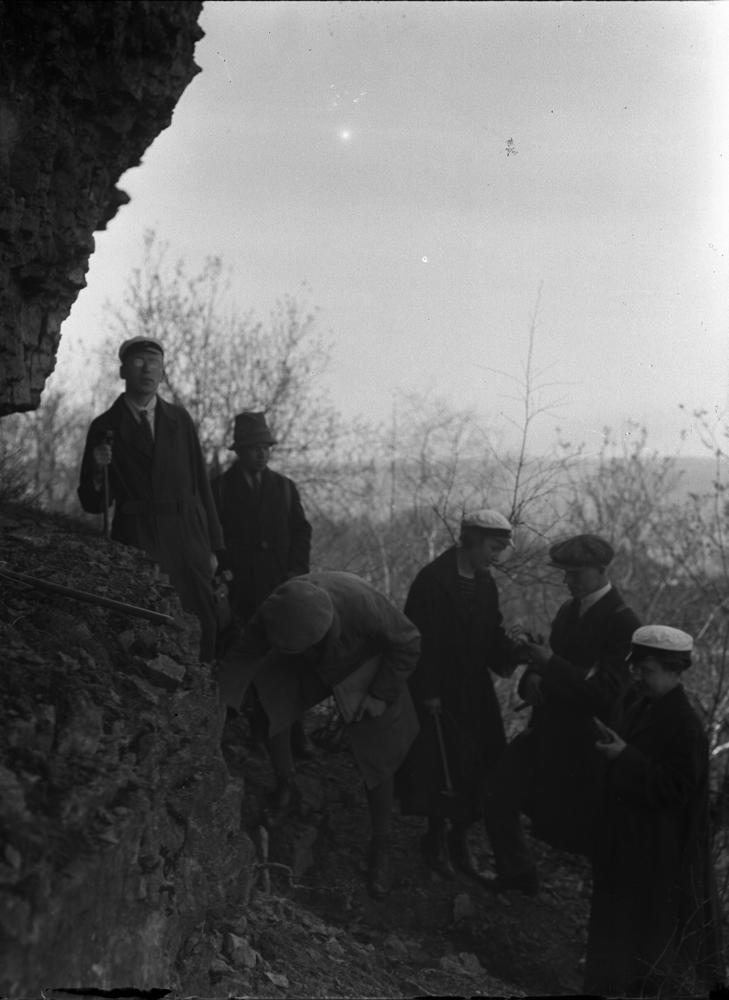
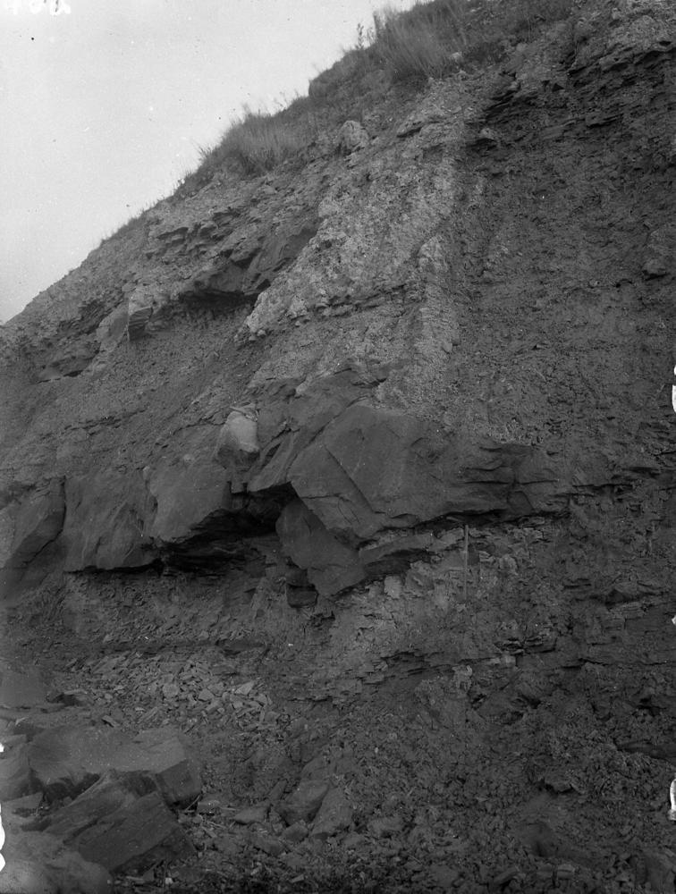

| Name | Suhkrumägi outcrop |
| Type | outcrop |
| Country | Estonia |
| Parish | TALLINN |
| Coordinates | 59.45126, 24.812985 |
| Coordinate precision | 1-10 m |
| Coord. method | Est Land Board map server |
| Coord. agent | Hints, Olle |
| Location remarks | Tallinna idaosas, Lauluväljaku lähedal klindiastangul |
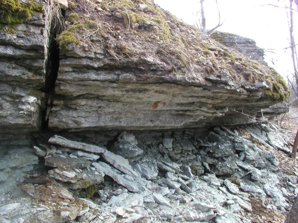
| Strat. top | Väo Formation |
| Strat. base | Kallavere Formation |
| Remarks | Field Meeting, 1990. Loc 1 : 3. |
| Date changed | 2021-05-31 |
Browse Geocollections
Partners

