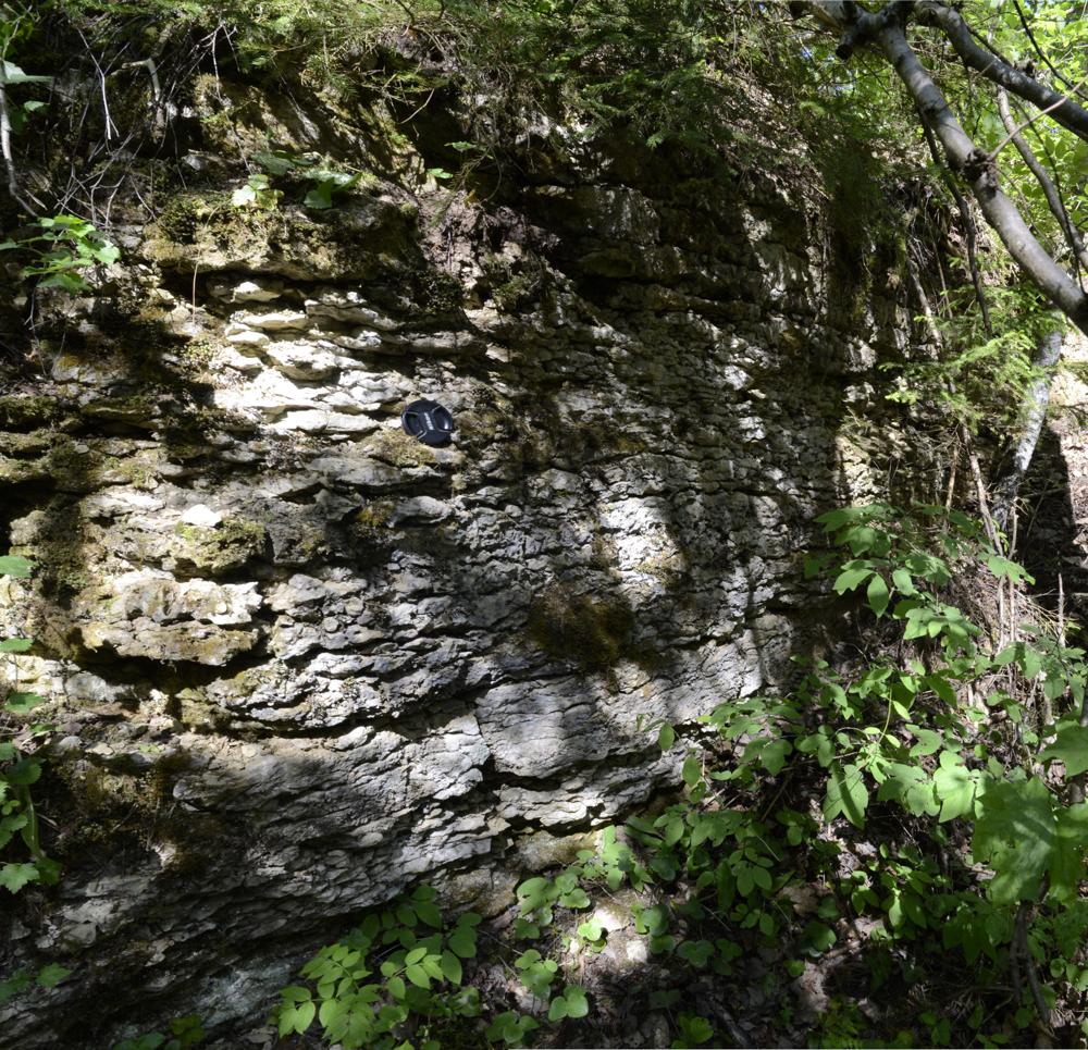

| Name | Keila quarry |
| Type | outcrop |
| Country | Estonia |
| Parish | Keila |
| Settlement | Keila |
| Coordinates | 59.314046, 24.379978 |
| Coordinate system | EPSG:3301 |
| X | 6575133 |
| Y | 521530 |
| Coordinate precision | 1-10 m |
| Coord. method | Est Land Board map server |
| Coord. agent | Hints, Olle |
| Location remarks | Keila- Vasalemma mnt ja Tallinn-Paldiski raudtee ristumiskohast ca 1100 m loodes |
| Strat. top | Keila Stage |
| Strat. base | Keila Stage |
| Remarks | Paemurd oli teada juba Fr. Schmidtil (1881). Praegu suures osas metsastunud. Selle paemurru serval on Keila murru puurauk. Stratotüüp |
| Date changed | 2022-02-03 |
Browse Geocollections
Partners

